AI skills for Open GIS
A set of AI skills for open-source GIS tools, so an AI assistant can do real geospatial work instead of guessing at it.
View projectOpen source
Some tools I have built outside client work. Free and open source.
A set of AI skills for open-source GIS tools, so an AI assistant can do real geospatial work instead of guessing at it.
View projectTwo quick uses of the skills, built from public data in Tartu.
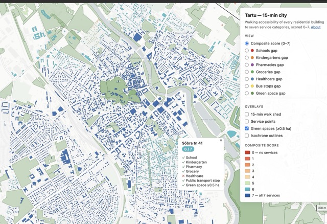
Every residential building in Tartu, scored by how many everyday services are within a 15-minute walk.
Open demo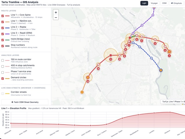
A quick feasibility look at three tram lines, including stop catchments, demand and elevation.
Open demoAn open SDK and agent interface for popular Merit Aktiva accounting software, letting AI assistants work directly with Estonian accounting data.
View projectA global grid system for indexing anything with a location. The land/sea lookup built on it runs 3–30× faster than BigQuery, PostGIS and DuckDB Spatial on the same workload.
View project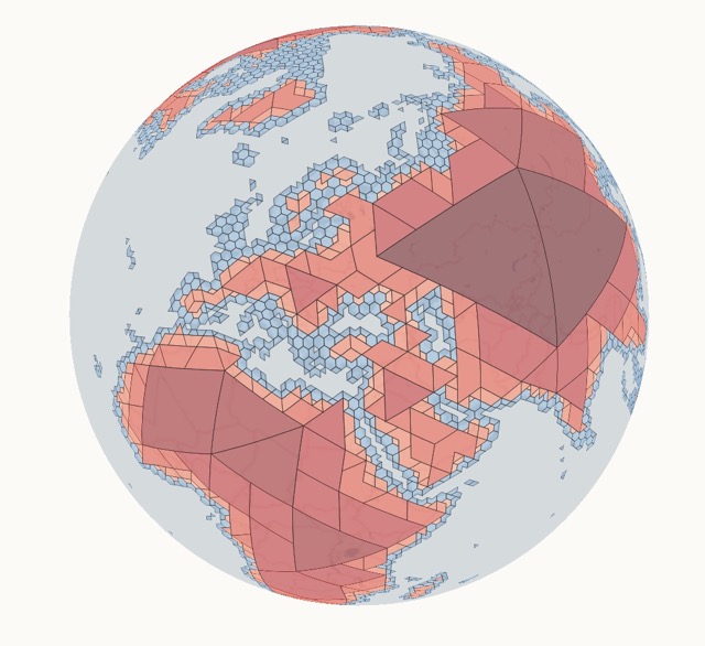
Start here
The first step is a free 30-minute discovery call to decide whether the Teardown, the Sprint or neither is the right next move.